Felix Frank · 29 October 2026
Terano Valley Residents Build Bridges Between Agriculture and Heritage to Protect Shared Water Supplies
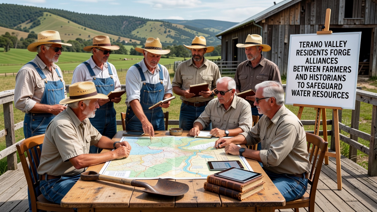
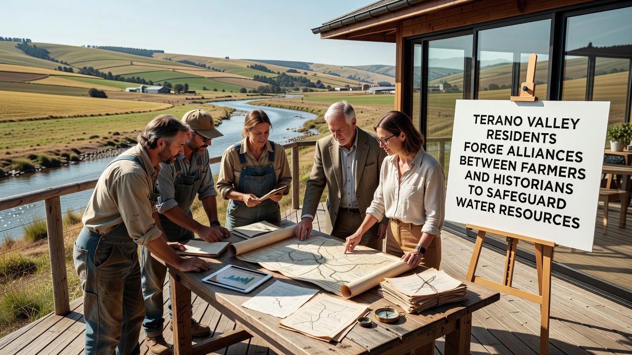
Residents across the Terano Valley have developed partnerships that connect local farming operations with historical preservation teams, and these alliances focus on managing water resources that sustain both crop production and heritage sites throughout the area. The collaborations emerged from joint assessments conducted in late 2025, when data from regional monitoring stations showed declining groundwater levels affecting multiple sectors at once. Farmers provided records of irrigation patterns spanning decades, while historians contributed maps and documents detailing ancient water channels tied to preserved structures, and together these groups identified overlapping priorities for conservation efforts.
Formation of Cross-Sector Working Groups
Local organizations established formal working groups by spring 2026, and representatives from agricultural cooperatives joined specialists from heritage foundations to review shared infrastructure needs. These teams examined how modern irrigation systems interact with older aqueduct remnants, and they coordinated on maintenance schedules that avoid damage to either resource type. Meetings held in community halls allowed participants to compare usage data from the past five years against archival records from earlier centuries, revealing patterns in seasonal water flow that informed new protection protocols.
Role of Water Data in Coordinated Planning
Technical reports compiled by valley engineers supplied measurements of aquifer recharge rates, and these figures guided decisions on crop rotation schedules designed to reduce overall extraction during dry periods. Historians supplied evidence of traditional terracing methods that historically directed runoff into storage basins, and farmers tested adapted versions of those techniques on select plots with measurable success in retaining soil moisture. According to the European Environment Agency, similar integrated approaches in other European regions have stabilized water tables when agricultural and cultural stakeholders align their strategies early.
October 2026 Milestone Meeting Advances Joint Protocols
Participants convened a multi-day session in October 2026 that produced binding agreements on water allocation limits, and these documents specified monitoring checkpoints every quarter to track compliance across both farm fields and protected historical zones. Field visits during the event allowed teams to inspect sites where ancient cisterns feed into contemporary distribution networks, and adjustments followed to prevent overuse that could compromise structural integrity. Data collected from sensors installed at those locations now feeds into a shared database accessible to all alliance members, streamlining responses to any detected anomalies in flow or quality.
Implementation Across Farms and Heritage Locations
Practical steps rolled out on participating properties include timed irrigation adjustments calibrated to historical flood patterns documented in local archives, and these changes have maintained yields while cutting peak demand by measurable percentages. Preservation crews meanwhile reinforced channel linings around heritage landmarks using materials compatible with both modern standards and original construction techniques, and joint oversight ensures neither farming needs nor site protection receives priority treatment. Training sessions organized by the alliances teach younger residents from both sectors how to interpret combined datasets, building capacity for sustained cooperation beyond initial project phases.
Broader Regional Connections and Resource Sharing
Valley groups have extended invitations to neighboring districts facing comparable pressures, and knowledge exchange visits have introduced additional mapping tools drawn from international heritage databases. Research compiled by the International Council on Monuments and Sites highlights cases where agricultural and cultural interests merged successfully to safeguard water heritage, and Terano participants reference those examples when refining their own frameworks. Equipment sharing arrangements have emerged as well, allowing specialized pumps and testing kits to rotate between sites based on seasonal requirements rather than remaining siloed by sector.
Conclusion
Ongoing evaluations track the combined effects of these alliances on water availability and site conditions, with preliminary indicators showing stabilized levels at key measurement points. The structure established in Terano Valley demonstrates how distinct stakeholder groups can align around common infrastructure challenges, and continued documentation supports replication in areas with similar overlaps between productive land use and preserved historical elements. Future phases will incorporate expanded sensor networks and refined predictive models derived from the integrated records now maintained collectively.