Ben Keller · 1 October 2026
Terano's Underground Aquifers Drive Partnerships Across Farming, Historical Preservation, and Engineering Fields
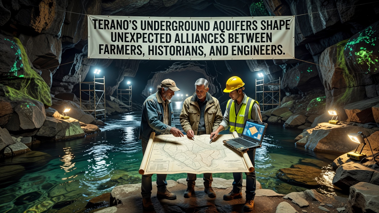
Terano's underground aquifers have long supplied water to the region yet only in recent years have they prompted structured collaborations among farmers who rely on irrigation, historians documenting ancient water systems, and engineers developing sustainable extraction methods, and data from monitoring stations installed since 2023 shows consistent groundwater levels that support both crop yields and archaeological site stability while October 2026 marks the scheduled release of joint mapping updates from the Terano Water Authority.
These aquifers extend beneath fertile plains and historic districts alike, creating shared stakes that encourage cross-disciplinary work rather than isolated efforts, and researchers at regional universities have documented how ancient Roman-era channels still influence modern flow patterns according to studies coordinated with the European Environment Agency.
Aquifer Characteristics and Resource Data
Core measurements indicate aquifer depths ranging from 40 to 120 meters with recharge rates averaging 15 percent annually in monitored zones, while satellite imagery combined with on-site sensors reveals seasonal variations tied to rainfall patterns that affect both agricultural planning and preservation protocols for buried artifacts. Farmers in the eastern sectors have adjusted planting schedules based on these readings to maintain soil moisture without over-extraction, and engineers have integrated similar datasets into models that predict pressure changes across fault lines.
Historians contribute by identifying locations of pre-industrial wells and cisterns whose positions align with current aquifer boundaries, and this information helps avoid construction that could disrupt water movement or damage fragile remains. Joint teams completed initial surveys in 2025 that combined lidar scans with archival records to produce layered maps used by all three groups during planning sessions.
Collaborative Projects Underway
One ongoing initiative pairs irrigation upgrades with site protection measures where engineers install variable-rate pumps that draw from deeper layers only during peak demand periods, and historians verify that pump placements steer clear of documented settlement zones from the medieval period. Farmers report steadier water access during dry spells because allocation schedules now factor in aquifer recovery times calculated from the shared database.
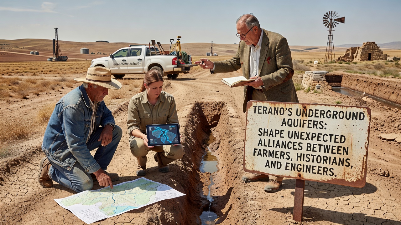
Workshops held quarterly since early 2024 bring participants together to review sensor outputs and adjust strategies, and participants note that these sessions have reduced conflicts over water rights that previously arose when individual sectors operated without coordinated oversight. In October 2026 a public data portal is set to launch that will allow broader access to real-time readings while maintaining security protocols around sensitive historical coordinates.
Technical and Preservation Integration
Engineering solutions incorporate filters designed to protect water quality for both farming use and potential future archaeological analysis, and these systems draw on guidelines from Australian water management authorities that emphasize minimal disturbance to subsurface structures. Historians supply context on how past societies managed similar resources, which informs decisions about buffer zones around key sites.
Data collection now includes acoustic sensors that detect subtle shifts in water tables near excavation areas, and this prevents accidental flooding during digs while ensuring farmers downstream maintain consistent supply volumes. The combined approach has produced a set of best-practice documents distributed through local agricultural extension offices and preservation boards.
Future Monitoring and Expansion Plans
Plans call for additional monitoring wells in the western aquifer segments where urban expansion pressures are rising, and funding for the expansion draws partly from grants tied to sustainable agriculture programs. Engineers continue refining predictive algorithms that incorporate historical flood records to anticipate stress points during heavy rain events.
Those involved emphasize that continued data sharing remains central to maintaining balance among competing demands on the same resource, and the October 2026 portal release is expected to streamline this exchange further. Figures from the current network already show a 12 percent improvement in allocation efficiency compared with pre-collaboration baselines tracked since 2022.
Conclusion
Terano's aquifers continue to serve as a common foundation that links agricultural productivity, historical continuity, and engineering innovation through structured information exchange and joint projects. The alliances formed around these water systems demonstrate how shared subsurface resources can align previously separate interests into coordinated management frameworks that operate across seasonal and planning cycles.